Data Products
The best, most accurate and complete data for your mapping, demographic and data science needs.
In many business processes, there is a cost to having bad data – whether it’s your own data or third-party data. In the past few years, the One of the issues with map data is it is sometimes hard to tell what is good and not-so-good. Bad data wrecks havoc in certain processes, especially in machine learning and Artificial Intelligence (AI) apps.
On this page, we cover location data products that you purchase/license or use as a service. Equally important, is making sure your own data is clean and of high quality. We cover this on three pages:
Address Validation page,
Geocoding page,
and on the Precisely Spectrum page.
In both cases, ensuring the quality of your data and the licensed/purchased data on this page, we will help you choose what is best for your application.
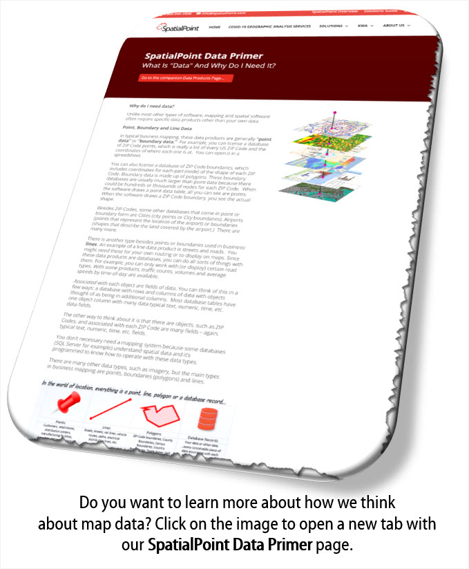
See our SpatialPoint Data Primer page to learn about how we think about data.
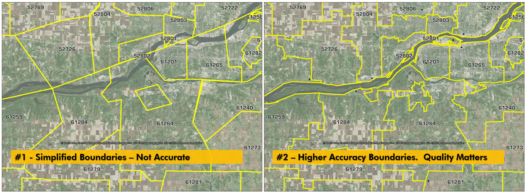
Quality Matters:
Groupings By Portfolio
Jump to Postal Data
Jump to Administrative/Census Reference Data
Jump to Community Boundaries
Jump to World Boundaries
Jump to Demographic/Psychographic Data
Jump to Points of Interest Data
Jump to Streets and Road Network Data
Jump to Parcels, Buildings and Address Fabric
Jump to Risk Assessment Data
Jump to Telecommunications Data
Jump to Wireless Coverage Data
Jump to PSAP (911/E911) Data
Boundary data and point data.
Outside the US, different types/levels of postal data are available for many countries.
Carrier Routes. See our dedicated Carrier Route page.
Generally boundary products.
Outside the US, many different types of boundaries are available.
Also see World Postcode and Administrative Boundaries under World Boundaries below.
Congressional Districts,
local electoral districts,
Timezones, etc.
Census data includes Metro areas,
Census Tracts,
Block Groups,
and Blocks, etc.
Generally boundary products.
Outside the US, similar types of datasets are available.
Residential Boundaries,
School District Boundaries,
School Campus Boundaries,
Municipal Boundaries, etc.
Neighborhood Boundaries identifies and names neighborhoods as they are experienced by local residents. In addition to a hierarchy of validated names and boundaries, it provides data on the population, demographics, culture and other attributes that make a cohesive neighborhood.
Generally Boundary products.
This type of data generally covers the entire world.
World Postcode and Administrative Boundaries
World Postcode and Administrative Boundaries provides comprehensive coverage of global administrative and postcode boundaries. Six administrative levels provide multiple layers for analysis specific to each country, such as township or city boundaries. Administrative hierarchy and alternate postal names are also included for the U.S. and Australia.
This dataset offers a single, global data package that aggregates worldwide postal and administrative boundaries into a single product, with separate administrative level files by geography and a consistent, single table structure format used for all countries to ensure ease of use.
World Time Zones
Useful for display, geotagging, geofencing, etc. Other World Products are available.
Generally data associated with boundaries.
This data is generally available for different boundaries. For example counts of people by age groups at the Census Tract level.
Also, this data is available for many countries.
Generally point data but some data has boundaries (for the likes of Walt Disney World, etc.)
Data is available for many countries.
Geofences delineate the extent of specific stores, venues, and other commercial properties. Each is built from high quality geocodes to ensure accuracy when deploying messaging and services to specific locations.
Line, point and boundary data
StreetPro Data is available for many counties in a consistent format.
StreetPro – Display (Optimized for display)
StreetPro – Classic (Fully attributed, optimized for GIS usage)
StreetPro – Navigation/Premium – optimized for routing (also adds navigation attributes to simplify routing, including speed limit, direction of travel, lane count, and turn restriction information. Premium adds average speed profiles for time of day and height, width, and weight restrictions.)
StreetPro – Traffic - provides information about relative traffic volumes on the StreetPro network. It can be purchased as a standalone dataset or as an add-on StreetPro. Built using data from anonymous feeds from billions of positioning devices within vehicles (smart phone, satellite navigation, and other in-car devices). This floating car data (FCD) provides speed, time, and direction of travel information which is used in the StreetPro family of products. The growing network of FCDs currently exceeds 550 million devices and processes 11 billion measurements daily, covering 460 million miles travelled.
Boundary and Point Databases
Some of this data is available for different countries.
Address Fabric is a current and comprehensive list of all known addresses in the United States and Canada. Each record is pre-geocoded to provide the most precise latitude and longitude coordinate location, including physical locations that are not deliverable by the postal service. The data is delivered in an easy to use flat file format that can be loaded into any database and analytics environment.
Building Footprint data delivers the building polygon, address, and location intelligence insight that insurers, telecoms, and location-based marketing require. Includes a unique identifier applied to every feature, Assossor Parcel Numbers (APN), building type and usage, how it's placed on its lot, lowest and highest elevation and centroid. Seamless integration with key tools makes it easy to layer, visualize, analyze, and share.
Property Attributes products provide users with property characteristic information from both Tax Assessment and Recorder of Deeds data. Property Attributes Assessment contains more than 190 attributes for addresses across the United States, covering more than 3,100 counties. Property Historical Sales dataset contains over 100 attributes related to the sale of a property, covering over 2,740 counties in the United States. Both property attributes datasets are built to be interoperable and are especially designed to link to Precisely Building and Parcel Boundary datasets through a unique feature ID system.
Property Attribute Assessment Data:
Owner and Address Information
Physical Property and Location Data
Legal Description
Property and Building Characteristics
Property Tax and Sale Information
Property Historical Sales Data:
Seller and Buyer Information
Property Address
Recorder and Deed Information
Sale and Mortgage Data
Boundary and Point Databases or as Services
Coastal Risk
Dynamic Weather
Earth Risk
Flood Risk
Cresta Zones
Historical Weather Risk
Property Fire Risk
Wildfire Risk
Boundary and Point Databases
AreaCodeInfo - Area Code boundaries for US and Canadian landline networks. Coverage includes 353 area codes, with regular updates to ensure highly accurate, up-to-date information.
CallingAreaInfo - represents the local calling plans available to business and residential customers when calling from or into a given location. Calling plans determine which phone numbers can call each other with respect to a specific plan and corresponding rates.
CallingAreaInfo also lists the number plan areas (NPAs) and the first three digits of the phone number after the area code (NXXs) and associated rates. Most local exchange carriers offer more than one calling plan for each NPA/NXX combination they serve.
Advanced data and geographic visualization capabilities make it easy to identify, analyze, and understand local calling plans and rate structures for specific geographic regions.
CarrierInfo - provides information about the spatial extent of local and wireless telephone service providers. Includes a macro view for each operating company, a high-level view of major carriers, and an operating company view for all of a parent company’s operating company numbers (OCNs).
ExchangeInfo Plus - is a comprehensive database of key telecommunications infrastructure data for every wire center in the US and Canada. (Wire centers are the basic unit of geography for the communications industry; they describe the organization of the local telephone exchange system.)
LataInfo - is a map database of Local Access Transport Areas (LATAs) across the United States. LATAs are geographic regions unique to the telecommunications industry that are used to determine whether a telephone call is carried by a local exchange carrier or by a long distance provider. In general, each LATA contains a single major metropolitan area. All telephone calls within a specific LATA are routed by Local Exchange Carriers (LECs). Calls between two parties in different LATAs must, by law, be transported by a long-distance carrier.
RateCenterInfo - provides geographic information about rate centers throughout the United States and Canada. Rate centers are the telecom region of choice for competitive local exchange carriers (CLECs), cable telephony operators, internet service providers (ISPs), and wireless carriers when determining areas of operation and number assignments. This dataset also delivers boundaries with specific information about the NPAs and NXXs operating within each rate center.
Generally boundary products
Generally boundary products
PSAP Pro Data - is a spatial database of police, fire, and emergency medical service (EMS) service areas throughout the U.S. Includes unique contact information for each service category, an added value for companies that need direct contact to the authority with jurisdiction. This information is used to contact the PSAP coordinator to determine the appropriate provisioning and routing requirements for handling an emergency call from the caller’s location. Used by wireless companies, telcos, alarm companies, vehicle tracking apps, personal safety apps, etc.
Data is for the US. Canadian access is via services. Please inquire about Canada.
Do you need a web service? See our PSAP Services page for details.
There are many sources and all of the key datasets are built and delivered in consistent formats with consistent naming conventions – even across countries. Some of the data comes from public sources and some from private sources and some from both. In the SpatialPoint Data Primer, we explain many of the aspects of how to think about location/spatial data.
We are here to help you choose the best data for your applications. Contact us!
More from our Blog
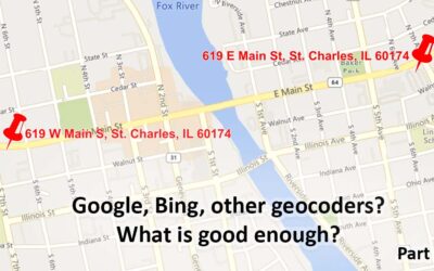
Geocoding – Are Google, Bing, etc. Good Enough? Part 1
Are the geocoding tools in Google, Bing, etc. good Enough? Part 1 Note: This is the first of a series of articles contrasting the approach of many geocoders, especially Google's and Bing's offerings, with enterprise/professional geocoding. When Google introduced...
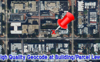
Geocoding Basics
Geocoding Basics What is geocoding? Simply, it’s the process of matching a location such as: an address ("Street-level geocoding") postal (ZIP) code ("ZIP-Level or Postal-Level geocoding) city name ("City-Level Geocoding, not used as much anymore) county name,...
Introducing the Signal And Noise Blog – Topics Include Mapping, Spatial, Geocoding, Address Correction, Geographic Data
One of our goals in communicating to you is to provide the most important information that helps you identify the signal and the noise. Think of listening to a radio station with static. The static is the noise and the voices or music are the signal. Our brains do a great job of filtering audio and there are tools to draw out the signal and suppress the noise. This blog is about focusing on the signal for various topics and, when possible, we’ll describe the noise. Unlike the radio static that is random, some of the noise in the marketplace may seem like signal, but it’s not.


